


Precio FOB
Obtener el precio más reciente585 ~ 825 / Set ( Negotiable )
|1 Set Minimum Order
País:
China
N º de Modelo:
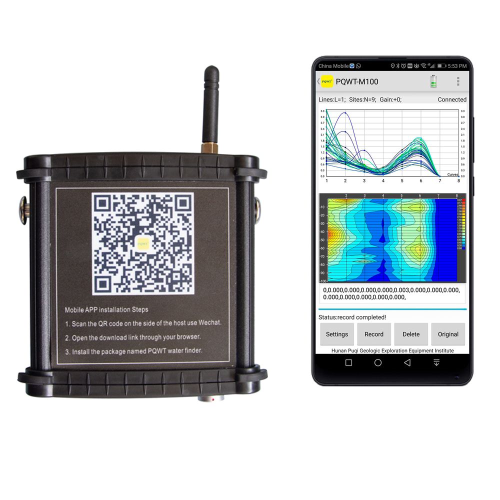
PQWT-M100
Precio FOB:
585 ~ 825 / Set ( Negotiable ) Obtener el precio más reciente
Lugar de origen:
Hunan, China
Precio de pedido mínimo:
585 per Set
Cantidad de pedido mínimo:
1 Set
Detalle de embalaje:
Packed in Alumium Specialized flight Box + Carton
El tiempo de entrega:
Express shipping, delivery time around 5~7 working
Capacidad de suministro:
300 Set per Month
Tipo de pago:
T/T, Western Union, PayPal, Other
Grupo de productos :
Persona de contacto Nicole
Changsha, Hunan
| País: | China |
| N º de Modelo: | PQWT-M100 |
| Precio FOB: | 585 ~ 825 / Set ( Negotiable ) Obtener el precio más reciente |
| Lugar de origen: | Hunan, China |
| Precio de pedido mínimo: | 585 per Set |
| Cantidad de pedido mínimo: | 1 Set |
| Detalle de embalaje: | Packed in Alumium Specialized flight Box + Carton |
| El tiempo de entrega: | Express shipping, delivery time around 5~7 working |
| Capacidad de suministro: | 300 Set per Month |
| Tipo de pago: | T/T, Western Union, PayPal, Other |
| Grupo de productos : | PQWT-M Mobile Water Detector |


